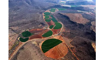
SDG Intro

Goal 2: Zero Hunger
End hunger, achieve food security and improved nutrition and promote sustainable agriculture

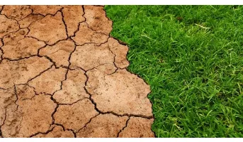
After a prolonged decline, world hunger appears to be on the rise again. Conflict, drought and disasters linked to climate change are among the key factors causing this reversal in progress.

SDG Stories

Crop conditions monitoring is highly relevant for food security early warning and response planning in food insecure areas of the world. GEOGLAM is the Group on Earth Observations' Global Agricultural Monitoring Initiative. Its main objective is to reinforce the international community's capacity to...

READ MORE

Understanding why and where humanitarian disasters are likely to occur is a fundamental step in saving lives and promoting sustainable development. The main focus of humanitarian organizations is people. The Vulnerability dimension of the INFORM Risk Index (global risk assessment for humanitarian...

READ MORE

In most people's mind, soil would not figure highly in a list of the natural resources of Africa. However, healthy and fertile soils are the cornerstones of food security, key environmental services, social cohesion and the economies of most African countries. Unfortunately, soil in Africa tends to...

READ MORE

The erosive force of rainfall (rainfall erosivity) is a major driver of soil, nutrient losses worldwide and an important input for soil erosion assessments models. This map shows the geographical distribution of erosivity changes for RCP8.5 for the period 2050–2070.

READ MORE

This indicator assesses the potential threat of wildfires due to fire weather intensity. Wildfires impose significant risks to human lives and economic activities. In extreme fire weather events, strong winds and wind-born debris may even weaken the integrity of infrastructure. Climate change may...

READ MORE

Area equipped for irrigation with groundwater, expressed in m2 multiplied by GWh/m2. Lower values of the indicator indicated that electricity could improve the number of areas equipped for irrigation, and consequently both economic and social outcomes (i.e. healthcare and nutrition).

READ MORE

Ecosystem condition indicates whether the natural environment is intact and connected. Poor ecosystem condition can result in businesses having restricted access in the long-term to the quantity and quality of resources and enablers needed for their activities as well as other ecosystem services...

READ MORE

This indicator assesses the threat of extreme heat during a 5-year return period. Extreme heat has an obvious impact on human health, but it is also relevant to a wide array of economic activities and industries, including the built environment. With climate change, the frequency and the intensity...

READ MORE

This indicator refers to the stock status of marine fish. As the largest traded food commodity in the world, seafood provides sustenance to billions of people worldwide. More than 85% of the world's fisheries have been pushed to or beyond their biological limits. Overfishing occurs in areas that...

READ MORE

This indicator assesses whether there is enough natural habitat surrounding cropland to support natural pollination. Up to two-thirds of all crops require some degree of animal pollination to reach their maximum yields, and natural habitat around farmlands can support healthy populations of wild...

READ MORE